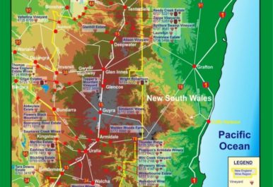
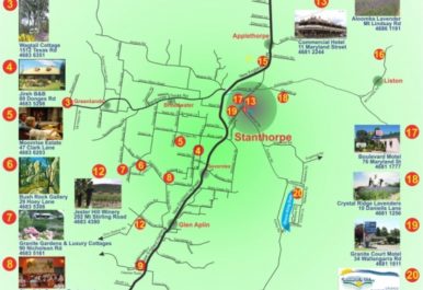
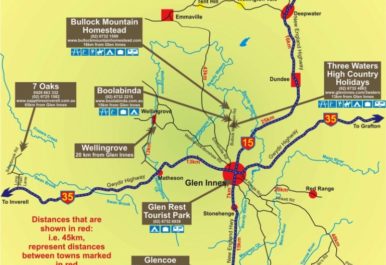
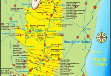
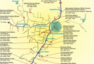
Maps are an essential part of the tourism industry as they are an efficient and universally recognisable way of self-directing. Mayne Maps’ tourism mapping services highlight the sight-seeing opportunities within your area and provide important details on the region. These maps can be distributed at information centres or downloaded online by those visiting the area. Better still, a high-quality map that is in equal parts informative and visually appealing can also help to attract visitors to the area by highlighting major attractions.
From New England wine region and Stanthorpe Escape Maps to Glen Innes Fossickers Society and Granite Belt wineries, Mayne Maps have over 15 years’ experience in designing detailed, accurate and high-resolution maps for clients right across Australia. Where convenience meets practicality, Mayne Maps is your number one choice for tourism mapping services. For more information, please call Alan today on 0409 800 211!


