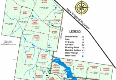
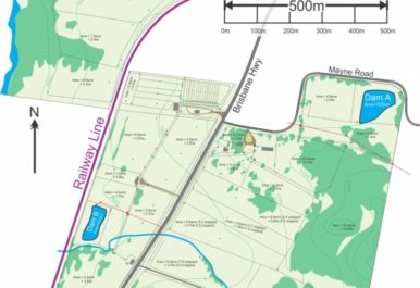
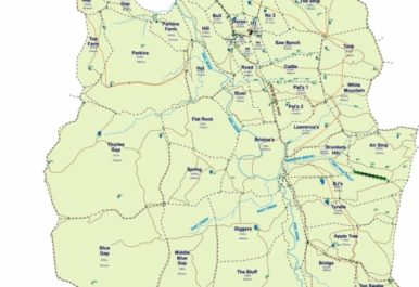
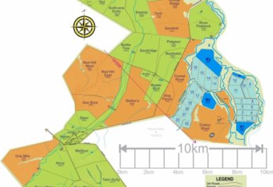
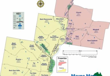
A sheep station is often thousands of kilometres in size and made up of various areas and infrastructure, making it near impossible to navigate without the help of a well-structured map. From fencing and paddocks to gates, contours, and strainer posts, Mayne Maps’ detailed and accurate sheep station mapping services are custom-designed to suit your exact requirements.
Whether you’re wanting a simple map that outlines the general layout and facilities for staff to navigate the property with ease or a highly-detailed map that showcases everything your property has to offer, from the facilities right down to the natural landscape, no job is out of reach for Mayne Maps. At Mayne Maps, we specialise in providing affordable tailored solutions that don’t compromise on quality, which is why our mapping services provide in-depth detail at the fraction of the price of our industry competitors.
From visitors and staff to prospective buyers, having high-resolution detailed maps of your property’s size, layout and most attractive features is not only a useful resource for employees to navigate their way around but also for potential buyers wanting to gain a visual understanding of the landscape. If you’re looking for a quality sheep station mapping service, look no further than Mayne Maps. For more information, please call Alan today on 0409 800 211!


